"That basin looks really nice, we can probably descend that way and take the ridge..."
Two years ago on Labor Day weekend I mapped
an adventurous route to Gamma Peak that Sir Hikes and I completed, mostly unscathed. While that was not the initial plan for our trip to Clark Mountain yesterday, Sir Hikes suggested an alternate descent route and I agreed...because...adventure? We ended up following various game trails for almost 4,000', sneaking through cliff bands, sliding on duff, and jungle-gyming a healthy amount of brush, vine maple, and slide alder. But it went!
 |
| Just over 20 miles, 7300' gain |
 |
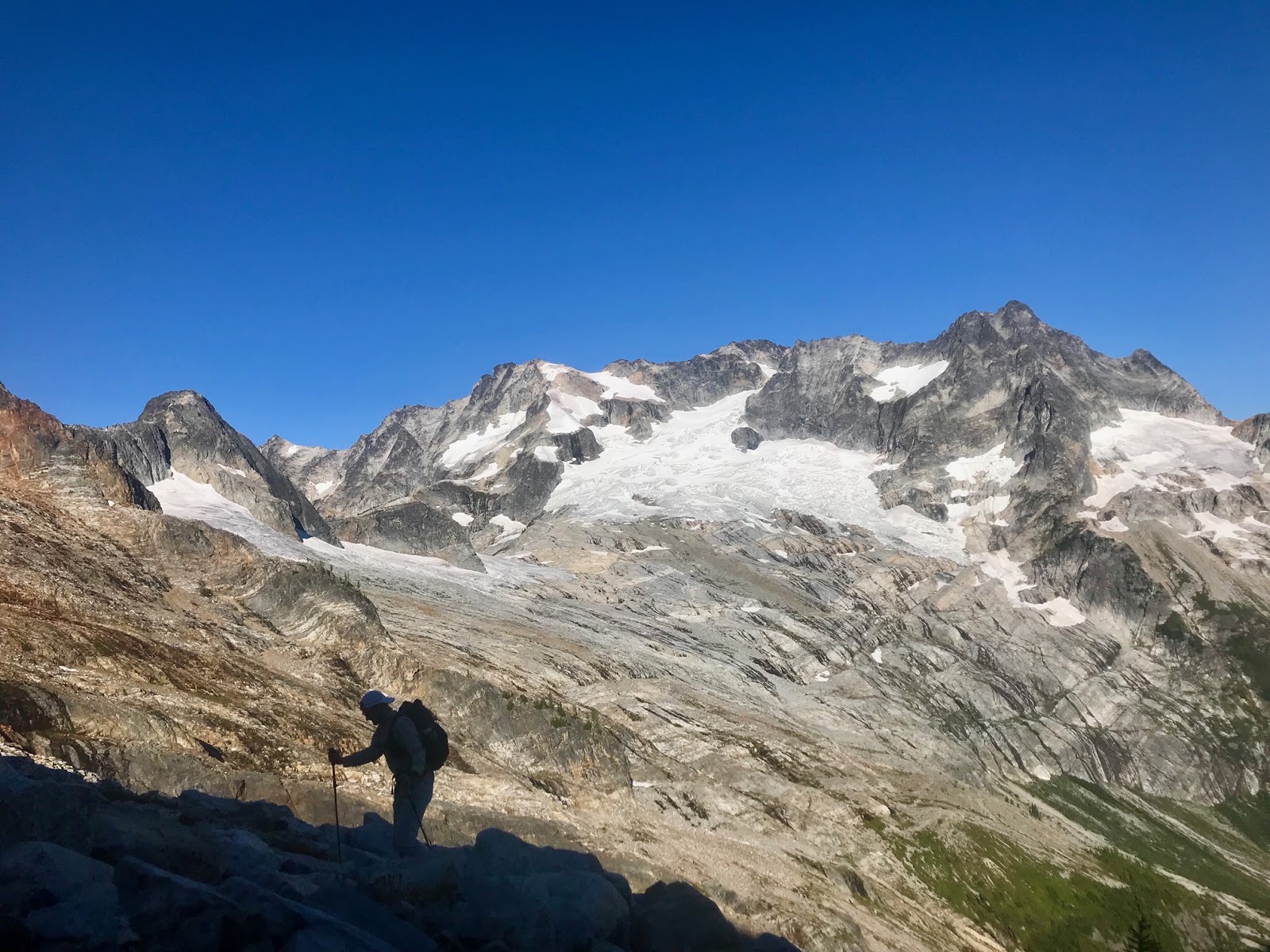
| Reaching Boulder Basin, Clark's SE peaks |
 |
| On the shepherd's trail |
 |
| Nice buck heading over the ridge |
 |
| Clark from the notch at 7200', looking west |
 |
| Goats are crazy; white dot center-center |
 |
| North to Luahna, Tenpeak, Dakobed Range and Glacier |
 |
| Looking back at the route up Clark, and down to White River |
 |
| Heart of the Glacier Peak Wilderness |
 |
| About to drop 6,000' to the White River |
 |
| Down basin, left at the trees, snake the cliff bands, down the treed ridge... |
 |
| Looking back up at the upper basin |
 |
| Getting "close" |
 |
| Only a half mile of wet brush left to reach the trail |
Few Sir Hikes photos:


