Bordering the north-east side of Olympic National Park, the Buckhorn Wilderness can hold its own against ONP.
From the Upper Dungeness trailhead, we took the Dungeness-Marmot Pass trails, summited Buckhorn Mountain (6988'), went down Tubal Cain to the Tull Canyon turn off, took the Tull Canyon-Silver Lake high route to Silver Lake, then up and over Mount Townsend (6280') and back to the FS road.
Thanks to
Ben,
Dave and
Ethan for coming out; a tough and beautiful day.
 |
| Old growth along the Dungeness River trail |
 |
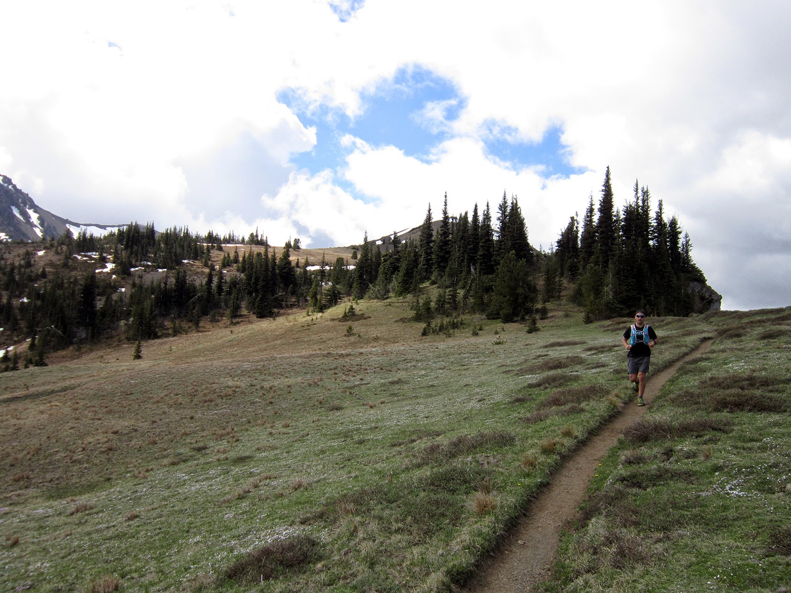
| Ethan adds another Wilderness area to the list |
 |
| Dungeness River |
 |
| Basin below point 6599' |
 |
| The only patch of snow we encountered, near Marmot Pass |
 |
| Ethan on the first climbing section to Buckhorn |
 |
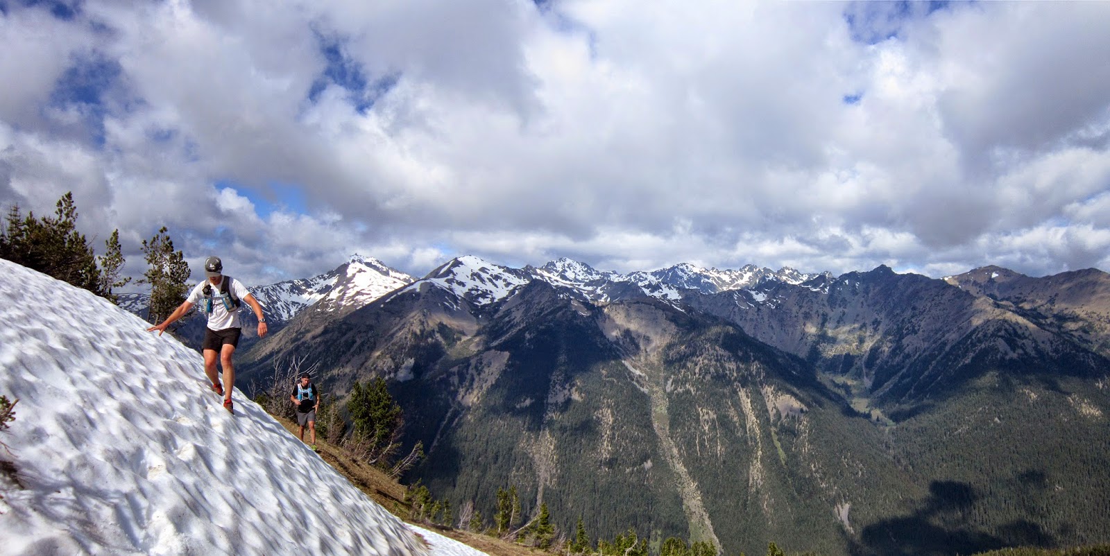
| Dave on the Buckhorn trail, with Fricaba, Deception, Clark and Walkinshaw |
 |
| Ethan nearing Buckhorn's summit |
 |
| With Ethan and Ben; Dave's photo |
 |
| Sorry Dave...Buckhorn summit |
 |
| From the summit of Buckhorn, looking west |
 |
| Descending Buckhorn, with Mystery (l) to Walkinshaw (r) |
 |
| Ben and Ethan, descending meadows to Tubal Cain; Buckhorn summit top left |
 |
| Mr. Nuun himself |
 |
| Dave's photo |
 |
| Ben checking out an adit on the way to Tull Canyon |
 |
| Upper Tull Canyon |
 |
| Looking down Tull Canyon, starting the high route portion to Silver Lake |
 |
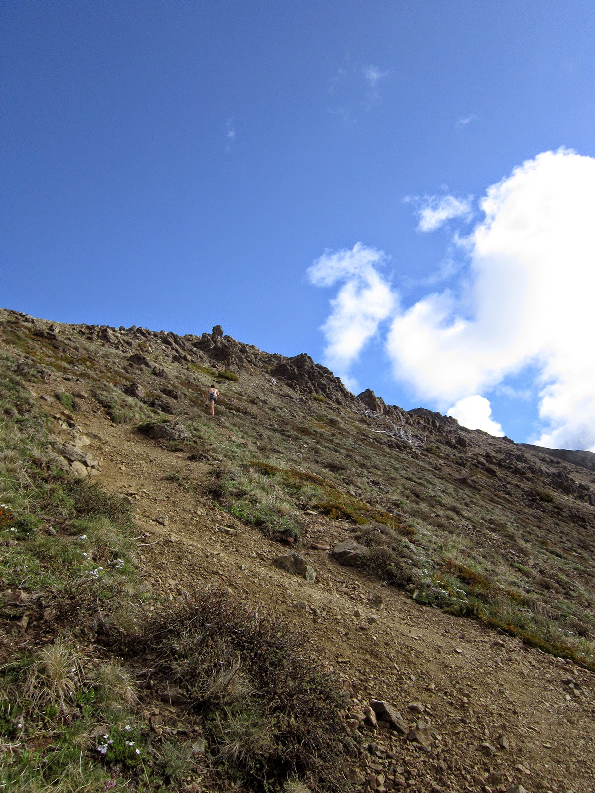
| Climbing up to the ridge dividing Tull Canyon and Silver Lake |
 |
| Finding the descent route down to Silver Lake |
 |
| Descending to Silver Lake |
 |
| Silver Lake from halfway down the descent |
 |
| Lots of talus |
 |
| Silver Lake |
 |
| Mount Townsend summit |
 |
| Beginning the descent off Townsend |