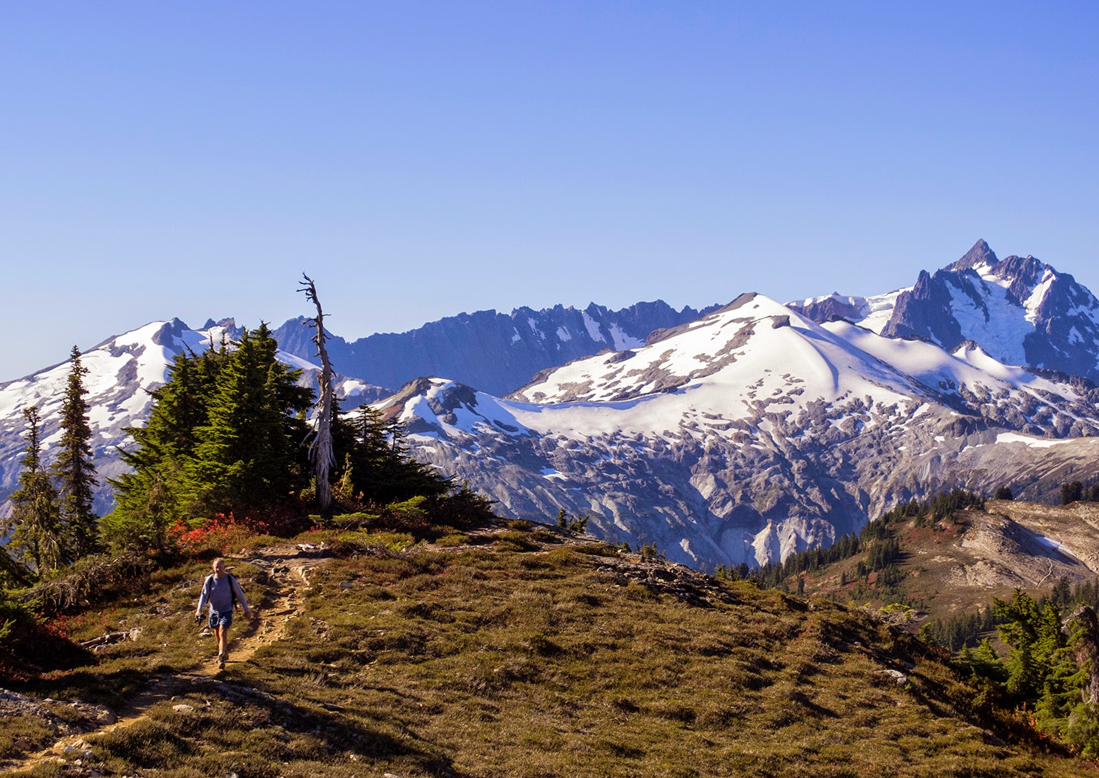
I've been spending a lot of time with maps.
They're on my work desk, sometimes find their way into the kitchen, or clutter the living room couch, and most definitely are bed-time reading at least a few nights a week. And that doesn't include the multiple files filling up my computer windows...
With Wilderness Areas and the North Cascades National Park dominating the range between Stevens Pass and the 49th parallel almost any attractive 100-mile route has to be an adventure run (Plain being the exception; Cascade Crest would firmly qualify as Central Cascades, WA).
I'm hoping to do at least one ~100-mile adventure run next year, maybe two, and if one of them comes from my growing list below that would be great.
Please feel free to comment with your ideas, thoughts and own routes!
Notes: these are primarily on-trail routes that would be "runnable," therefore not utilizing (many) high routes or significant cross country travel. However, a few of these trails certainly will feel like cross country bushwhacking. Where possible I've tried to create loops or aesthetic point-to-point outings. Distances are approximate, "+" denotes 100-110, "++" is over 110, though I don't think any go over ~120.
-Luke
North Cascades 100 ++ (Cascade Pass to Ruth Creek/Hannegan Pass TH)
This cuts through the heart of both the south and north units of NCNP. Not much more needs to be said, besides that you'll be seriously indebted to whoever does the car shuttle for you. This ends with
the 60-mile trip I did in August.
Cascade Pass trail to Park Creek, over Park Creek Pass and down Thunder Creek to Fourth of July Pass/Panther Creek trail, Happy Panther trail to Big Beaver trail, Beaver Pass, Little Beaver to Whatcom Pass, Brush Creek and Chilliwack River to Copper Ridge, Hannegan Pass and end at Ruth Creek TH.
 |
| Black bear at Cascade Pass |
 |
| Sahale Arm and Peak, above Cascade Pass |
 |
| Buckner (r) and Logan (c); Park Creek Pass and the Thunder Creek drainage splits them |
 |
| Big trees in Big Beaver |
 |
| Little Beaver headwaters at Whatcom and Challenger glaciers |
 |
| North (r) to south (l) views to the west from Copper Ridge |
Glacier Peak Wilderness 100 + (Loop from White River TH)
This, by far, is the most difficult route of this collection. I would also consider this the most scenic (even though it includes a few dirt road miles) and definitely the one I want to do most. It has the most climbing and descending, two significant river fords (Napeequa, Chiwawa) and goes over Spider Gap, which means a glacier/permanent snowfield climb and descent. It also circumnavigates Glacier Peak.
This section of the PCT is highly scenic.
White River/Boulder Pass trail to the Napeequa, Little Giant Pass to the Chiwawa River, road and Phelps Creek to Spider Gap and Lyman Lakes, Cloudy Pass to Suiattle Pass and the PCT; ~51 miles on the PCT to Indian Pass and return to the White River via Indian Creek.
 |
| The Napeequa River valley; Boulder Pass is the obvious U-shaped feature upper left |
 |
| Upper Spider Meadows |
 |
| Spider Glacier/snowfield to the Gap |
 |
| The Lyman side of Spider Gap |
 |
| Views to the north from the PCT before descending toward the Suiattle River |
East Pasayten 100 / Boundary Trail Main Route (Iron Gate to Harts Pass)
The Boundary Trail Main Route from Iron Gate following BT #533 to the PCT at Castle Pass, then south on the PCT to Harts Pass; 94-102m depending on which maps you use.
The not-Plain Entiat 100? (Loop from Chikamin Creek TH)
This is the only route that includes some high route sections and I don't yet have a solid idea on distance, though it's probably close to 100, maybe a little short. Covering almost all of the northern Entiat range though, it's definitely tough terrain.
Chikamin Creek to Chikamin Tie and Ridge, Garland Peak trail to Larch Lakes/Pomas Pass/Ice Creek. Entiat River to Ice Lakes HR, over saddle to Carne HR, south down Old Gib/Estes Butte, over Basalt Ridge and down Minnow Ridge to TH.


