Sunday, August 31, 2014

Grand Dishpan Gap Loop - Wild Sky / Henry M. Jackson wildernesses

Today I finally completed my triple crown of highly-scenic routes done on days with limited-to-no views! After Rainy-Harts and my North Cascades Traverse, all I had to do was find one more beautiful route that I could do on a foggy, rainy and cold day. The whole three-day weekend looked to be providing the appropriate weather, so as good a time as any for another classic loop.

The Grand Dishpan Gap Loop starts off on the West Cady Ridge trail, heads up to meet the PCT and turns north to Dishpan Gap where you start looping back on the Bald Eagle trail, heading to Curry Gap and then descending down Quartz Creek back to the same trailhead (N. Fork Skykomish River trail also leaves from the same parking lot, providing a shorter loop option). Allegedly there are great views in the 22+ miles of ridges you traverse, but unfortunately I only got a few glimpses...I guess I'll just have to go back!

Also had my first bear encounter of the year spooking what I believe was a mother and two cubs. I only saw one cub (30 yards ahead on the trail) and as soon as I started yelling at it there were two other animals crashing through the bushes, one to my side and one behind me.

West Cady Ridge and the PCT are in super-maintained shape. Bald Eagle has some grass and flower overgrowth and a bit of erosion but the last mile down to Curry Gap is brushed and fixed up (thanks FS trail crew!). Quartz Creek has a bit of mud and some light brush, but still is a fun, gentle cruise down. Note that there is not a lot of water on the ridges, especially from the PCT until half a mile before Curry Gap; only a small seep or two.

Wilderness areas get fancy trailheads; all three trails leaving from this lot had these
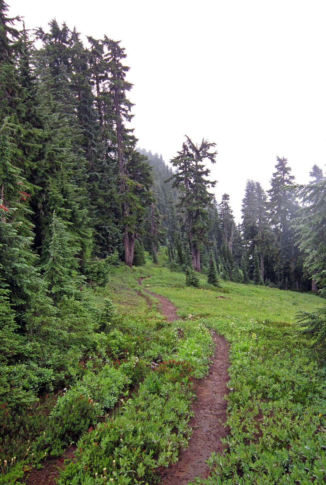
A mostly-gentle climb up to West Cady Ridge
Up on the ridge after only three miles
West Cady Ridge
Rolling along the ridge
Pacific Crest Trail junction
Broken, but still pointing the right way
PCT along the Snohomish-Chelan county line ridge, below Skykomish Peak
Mr. Marmot
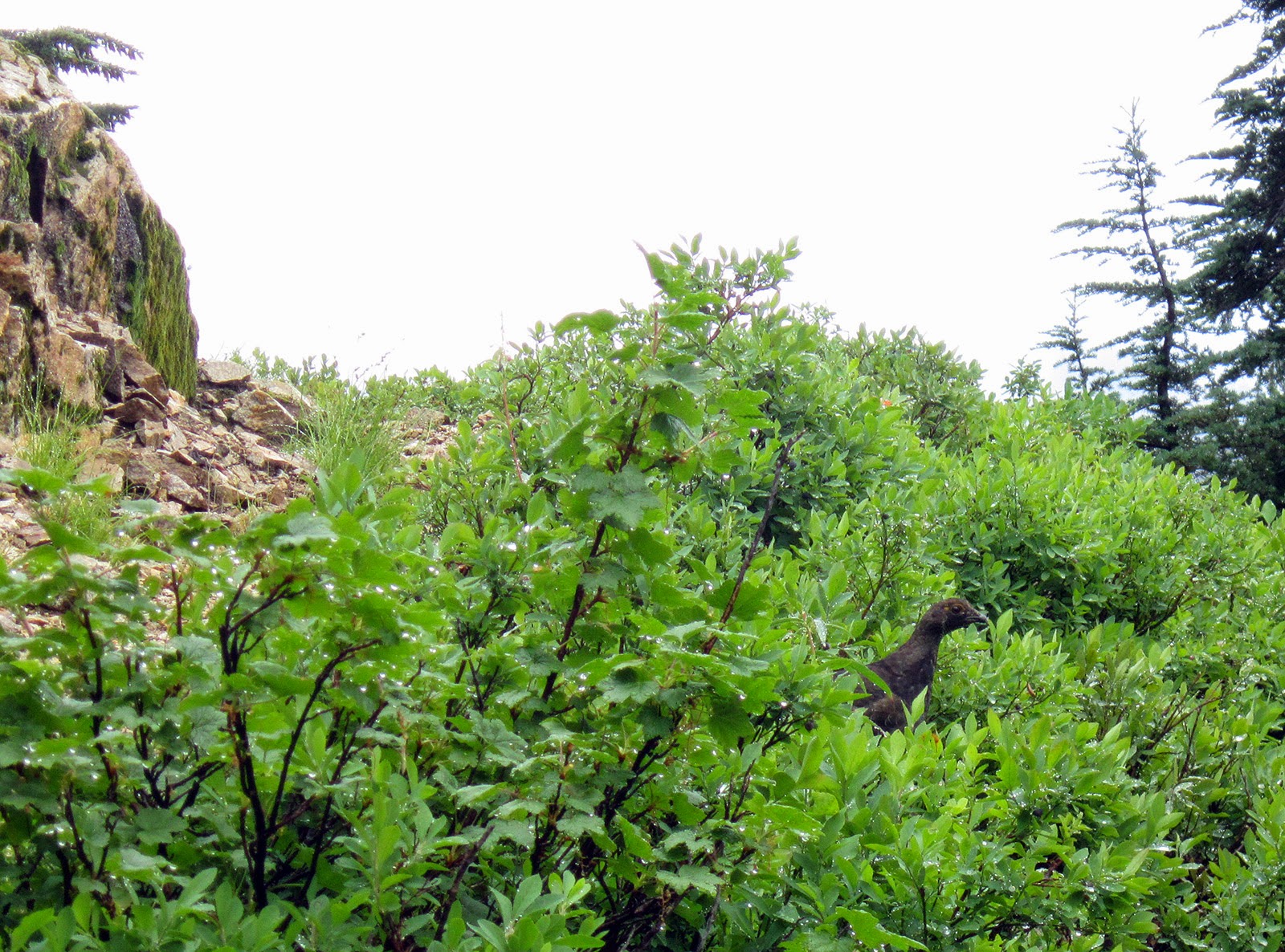
Many grouse
Lake Sally Ann
The dreaded PCT-grade extra long switchbacks up to Wards Pass
Looking south down the PCT from Wards Pass

Looking down on Dishpan Gap after turning onto the Bald Eagle trail
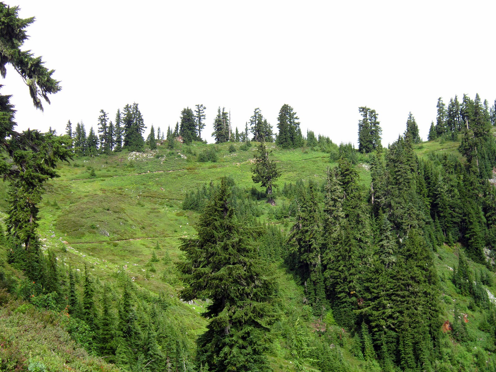
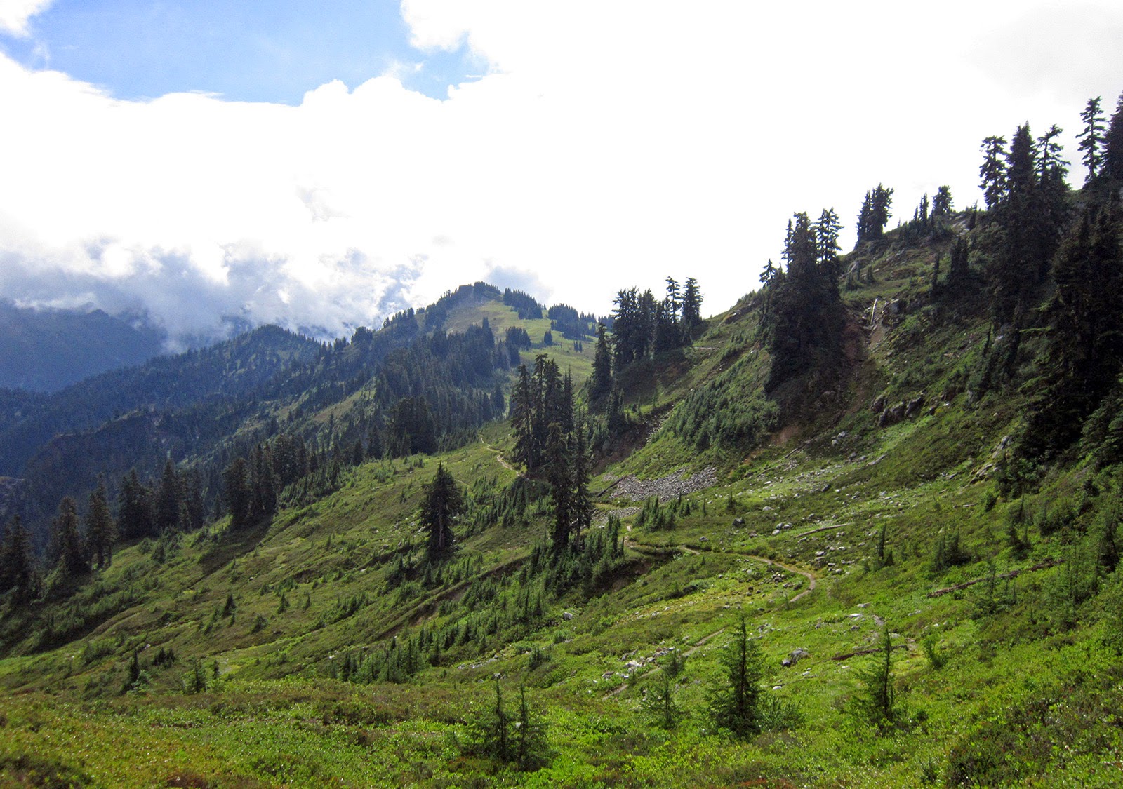
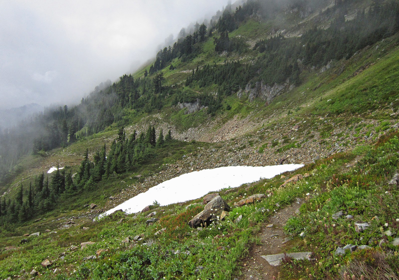
Contouring toward June Mountain
Back in the fog; more contouring
Bald Eagle trail, the ridge east of June Mountain (r), Blue and Little Blue lakes (c) and Johnson Mountain (center-left)
Blue and Little Blue lakes
A bit brushy and eroding, until...
WOW...they can't be far away...
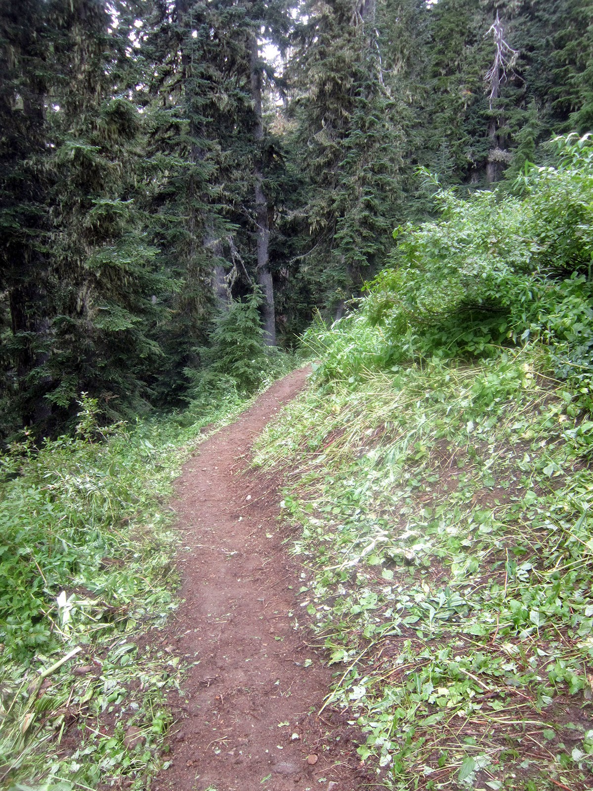
Some serious trail work; THANK YOU!
Thank you FS trail crew!
Kyes Peak, with ridge to Monte Cristo on the right
Kyes Peak from above Curry Gap
Nice little set of falls and a pool on the Quartz Creek trail
Time for some rest and healing...

Monday, August 25, 2014

Pacing at Cascade Crest 100 - 2014 version

Like last year, I was very fortunate to be part of the Cascade Crest 100 this past weekend. I got to crew for three runners for the first 52 miles, then hop in and pace the last 48. While my two runs of the second half of the course have been quite different, the final result was amazingly similar.

And when I say amazingly similar, I am not exaggerating:
A ONE-SECOND DIFFERENCE. 

What I find awesome about this is that the last 48 miles I ran with each of them had almost opposite rhythms, difficulties and pick-me-ups.

After crewing for Dave and ultimately pacing Martin in 2013, I entered the Cascade Crest lottery this year but was so far down the wait list (#89) that I wasn't too excited to wait all summer to see if I would get in. Plus, almost every one of my good running friends was in and someone had to take up the crew and pacing rolls.
Me, Dave and Kevin pre-race
I was in charge of food, drinks and gear for Dave, Paul and Richard at Stampede Pass (mile 34) and Hyak (mile 52). After seeing them, Kevin and Matthew off in Easton I headed up to Stampede and helped the Seven Hills crew, Matt and Kerri and other volunteers set up the aid station. 

Stampede Pass before...
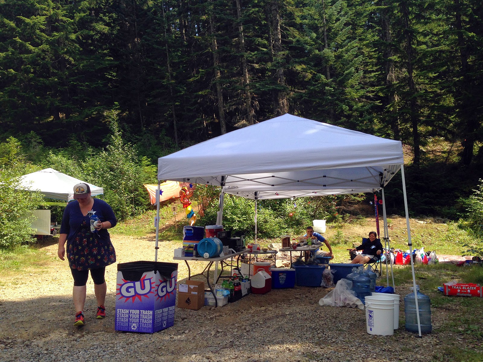
...and after! Ready for runners
Stampede volunteers; photo from 7Hills
The boys all came through separately within 17 minutes of each other, but looking good and with no serious issues. They were hitting pretty much the exact same splits as Dave and Martin had in 2013.

By Hyak 20 miles later they were still all within 36 minutes, with Richard first, Dave ten minutes behind and Paul 26 minutes behind Dave. Although Richard will sandbag a lot, he is extremely strong and we all knew he would go on from Hyak, sans pacer, to run a killer race. 

I jumped in with Paul and we set off for a few miles of road before the climb up to Keechelus Ridge. Hiking was quick, but not quite as fast as Martin and probably with fewer running sections. We passed some people here and ran the descent down to Kachess Lake at a comfortable pace, not pushing it. 

When we came in to Kachess AS Greg was there with a box of pizza waiting for Kevin, and said that Dave literally had passed through just a couple of minutes ago. We questioned whether we really had been moving fast enough over the last 16 miles to make up 25 minutes on Dave, or whether he was slowing. 

The "Trail from Hell" that leads from Kachess to Mineral Creek really is not bad at all. After 16 miles of monotonous forest service roads a rolling technical section is just the key to stay awake in the middle of the night. Paul had fun and we really moved on this section. We passed Dave about a mile in, who seemed a bit zoned out and appeared to be having stomach issues. Paul gave him some extra tums he had and we moved on. 

In 2013 Martin and I moved pretty well up the road to No-Name Ridge. This year, Paul and I practically were falling asleep, barely keeping a respectable hiking pace up as we slogged along. This is where Graham's great advice about caffeine pills was key (it was 3am after all). Paul had a few and after starting to do the drunk weave, we split one. Expecting an instantaneous boost, and obviously not getting it after 15 minutes, I told him to take a caffeinated gel as well. He got it down and after another 15 minutes, it both hit us and we felt great. 

We had been so out of it that neither of us saw the self-serve water station on the road, and when suddenly we saw glow sticks (always right before an aid station), we thought we were only at the water jugs when in fact we had come to the full AS at No-Name (Hooters!). It was an instant boost and we had a little pep talk on only having 20 miles to go...

From No-Name Ridge at mile 80 to the finish is where the biggest contrast between my two years of pacing at Cascade was apparent. Last year Martin was having serious ITB and knee pain, and that limited the amount of running we could do, but he still moved well. This year, Paul had some general pain (duh) but nothing too acute.

We ran, and we ran hard

Paul put in one of the ten-fastest splits for the entire field from No-Name to the finish: 4:21. 

We ran all the descents and almost every flat as hard as we could and hiked the Cardiac Needles, including a very quick trip up and down Thorp Mountain. Miles 90-96 from the top of the climb above French Cabin down to Silver Creek were 10:58, 11:28, 11:56, 12:12, 12:04, 10:23. We literally ran through Silver Creek without slowing down.
Descending Thorp; Takao photo
While Paul had been hoping for a sub-24 finish, he now had 53 minutes to break 23 hours. We both shared a few trail tears after passing through Silver Creek and talking about where he was going to come in.

We took four or five little walk breaks on the small humps in the final four miles, but Paul still split 43 minutes and after a sprint with another racer into the finish, he came in at 22:50:30. A fantastic first 100-miler.

So, I guess the question that must be posed: anyone up to go for 22:50:29 in 2015...?

I'm really proud of all of the guys; I'll let them tell their stories, but it sounds like there were many difficulties overcome and even when they wanted and tried to drop, they didn't. Each of them has a great buckle now. 

Kevin gets it done, Where's Waldo Hanscom as pacer; Dave's photo
Matthew too, with Ian pacing; Dave's photo
Kresser ran the lights out of the course and himself: 21:47; Dave's photo
I'm pretty sure Paul woke up eventually...Dave's photo


Sunday, August 17, 2014

North Cascades traverse

Point-to-point runs are hard for me to organize, so when my step-dad Steve said he was willing to do a car shuttle I knew immediately that I wanted to do an on-trail traverse of the north unit of North Cascades National Park.

There's really only one way to go: starting from Ross Dam go up Big Beaver and over Beaver Pass, up Little Beaver to Whatcom Pass and down Brush Creek to reach the Chilliwack River. From the Chilliwack, the quickest exit is up the river to Hannegan Pass and down Ruth Creek to the trailhead. However, that misses the best trail, and the best views, in the North Cascades: Copper Ridge. Steve, his brother Pete and I hiked to the Copper Ridge lookout two years ago and that pretty much made it impossible to skip. It adds about ten miles to the route and includes a hefty climb from the Chilliwack up to the ridge, but it's just too beautiful not to do (even when you're socked in by clouds!). This trip I didn't take any pictures on the section of Big Beaver I did in May; pictures of the great old growth in the valley are here.  

(trail conditions report at bottom of this post)


4:40am start at Ross Dam
These guys were all over the trail pre-dawn, glad I didn't step on any
Brush issues past Luna Camp
Peak-a-boo view of the Pickets: Crooked Thumb (r) and Phantom Peak 
Beaver Pass shelter
Little Beaver Creek
Quite bad brush for two miles in the upper Little Beaver
More of the same
But at least the views open up; Whatcom Peak (r) and the ridge NE of Mount Challenger

Great falls in the upper Little Beaver
Whatcom Peak and glacier
The one bad section of blowdown/debris; about 6-8 trees of crawl-under and climb-over fun
looking back at the second half of that section
Follow the strategically-placed flag! 
Looking back down Little Beaver
Yyyeessssss; Whatcom Peak, Perfect Pass and the western side of the Challenger Glacier

The well-engineered switchbacks up to Whatcom Pass
The mighty Challenger Glacier, with summit hidden in the clouds
Meadows below Whatcom Pass with the extensive ridge NE of Challenger
USGS marker at Whatcom Pass
Whatcom Peak and the ridge west toward Easy Peak
Ridge between Whatcom and Easy peaks, from the Brush Creek trail
Chilliwack River trail junction; head north for Copper Ridge
Cool and wobbly suspension bridge over Indian Creek
Turn down to ford the Chilliwack toward Copper Ridge
So cool! Spawning Sockeye salmon in Indian Creek
First ford, Indian Creek, currently not an issue at all; note flagging on the far side
Second ford, Chilliwack River, also no problem
Nearing the top of the climb from the Chilliwack to Copper Ridge; I was in no mood to take pictures on the way up
Backpackers heading down to make camp at Copper Lake
Final climb up to the Copper Ridge lookout
Marmots
Not much to look out at...
Back on familiar terrain; 10 miles from here to the trailhead
The resident grouse around the lookout
Copper Ridge trail
Mineral Mountain (r) and the north ridge of Easy Peak
Copper Ridge trail and Ruth Mountain
Last climb from Boundary Camp to Hannegan Pass
Really, really tired; 16 hours car-to-car
For reference, here is the view from the Copper Ridge lookout when it's clear; I took this in October 2012, looking from SW to NE

Trail conditions

  • Big Beaver: a few blowdowns, brushed to Luna camp; brush issues between Luna and Beaver Pass.
  • Little Beaver: two miles of very brushy trail once you start to reach the upper valley before the lower set of switchbacks. A large blowdown/debris area there as well that requires climbing and ducking over a set of six or so big trees (photos below).
  • Brush Creek: CLEAR! NPS trail crew working on Whatcom Camp area and met one of the team who was brushing it as I came down; I couldn't thank him enough. 
  • Chilliwack River: a bit of brush and blowdown, but nothing too onerous; mostly step-overs. The salmon are running in Indian Creek (the first ford) and the fording routes are flagged. Not very deep (upper shin) or strong. I didn't need a stick to cross either. 
  • Copper Ridge: handful of blowdowns between the river and gaining the ridge proper. A couple are crawl-under trees. Trail is great from gaining the ridge all the way down to Boundary Camp as it sees a lot of traffic. 
  • Hannegan Pass/Ruth Creek: well-maintained, some brushing has been done, no issues.