Sunday, July 31, 2016

Mt. Maude 9082', Glacier Peak Wilderness

Over the last few years I've seen Mt. Maude from almost every angle and always had it on the shelf as a canned trip to do sometime. Some last-minute scheduling changes had me looking for a new idea and it seemed like it was finally a good time to fulfill my one-drive-up-Chiwawa-River-Road-per-year quota (ugh; next time I head up there someone else is driving...).

Starting from Phelps Creek, I took the Carne Mountain trail, Carne-Leroy "high route" (trail...), Ice Lakes high route to the standard south ridge route for Maude from the east side, back to the Carne-Leroy route, down Leroy creek and loop back via a few miles on Phelps creek.

~18 miles, 7800'+ gain

Saw the Buck Creek fire smoke as I was driving down to the Chiwawa. :(

Alpine Creek basin, southeast slope of Buck Mountain; cool visible dykes
Scarlet gilia (skyrocket)
Basin below Carne Mountain, with Chiwawa, Fortress, Buck and Clark

Maude and the terrain of the Carne-Leroy route
Banded gneiss, Swakane terrane (Thanks Doug!)
Entiat range is lush and in bloom
Ice Lakes high route from the pass north of Chipmunk Creek
Upper section of Ice Lakes high route
Looking north to Spider Gap
Glacier Peak pumice shows up often on the main Entiat ridge (like here near Rampart Mountain); at the saddle above Ice Lakes
Zoom of Glacier Peak from the saddle above Ice Lakes, Phelps Ridge in the foreground
Maude, upper Ice Lake, North and South Spectacle Buttes
Little scramble step (25' or so) to the notch at 8000' to access Maude's south ridge
South (left) to west from Maude's south ridge
North (right) to west, from the summit of Maude
Gunsight, Sinister, Dome (in clouds), Spire Point, Saddle Bow, Buckindy area back left; northern Entiats in foreground
Rare view of Massie Lake, from the summit of Maude
Summit selfie with Seven Fingered Jack, Fernow and Bonanza
Chelan-Sawtooth across the lake, Entiat River valley in the foreground
Leroy Basin and Seven Fingered Jack


Tuesday, July 26, 2016

Olympic National Park Traverse DNF

Over the winter I again planned a few long routes I wanted to focus on for the summer, including an approximately 100-mile traverse of Olympic National Park. The idea was to complete a "Rainforest to Rainshadow" ecosystem tour, starting in the Hoh and ending in the Buckhorn Wilderness. I headed out to the peninsula last Saturday for a Sunday-Monday attempt and unfortunately was unable to finish.

I had an amazing run up the Hoh, over the High Divide/Seven Lakes Basin, down Bridge Creek/Sol Duc and then up to Appleton Pass, completeing ~25 miles and two of the four major climbs in exactly six hours elapsed. The descent down Boulder Creek is a little slow because of brush up top and technical trail lower, but the real killer section was the 12+ miles of road from Olympic Hot Springs to the Whiskey Bend-Elwha trail. A warm day and the monotonous roads (6 miles paved) really drained me. I still was feeling good when I started heading south down the Elwha but almost immediately got very sleepy at only 5pm and took a short nap. I continued for two hours, and then took another nap. An hour later I found myself laying down for a third nap in four hours. Ugh.

About 51 miles in with 44 to go, I realized I was most likely going to need to sleep for most of the night to feel truly awake again and with no real bail options ahead, continuing on seemed like an unwise choice. I reached out to my friends via my SPOT to alert them that I was changing plans and turned around for nine miles back down the Elwha trail. A huge thank you to Will, Erik and Ben for talking and coordinating to come get me in the middle of the night. I was planning on just crashing at the trailhead until morning and was surprised when I saw a headlamp coming toward me about 11:30pm that turned out to be Will.

Of course it's hard to admit (and accept) failure when I still had a long and interesting day in the mountains. But that's basically what it was and it does sting. I did get to see my first bobcat and on the way out a baby cougar ran in front of us on the Whiskey Bend Road, another first sighting for me. There was also one habituated ONP black bear up the Elwha who did not even bother looking at me when I was hooting and banging my poles together. It just ambled on, unbelievably slower than me.

Thanks to Will for hosting and driving me all over the place at all hours for the entire weekend; wouldn't have been possible without you!

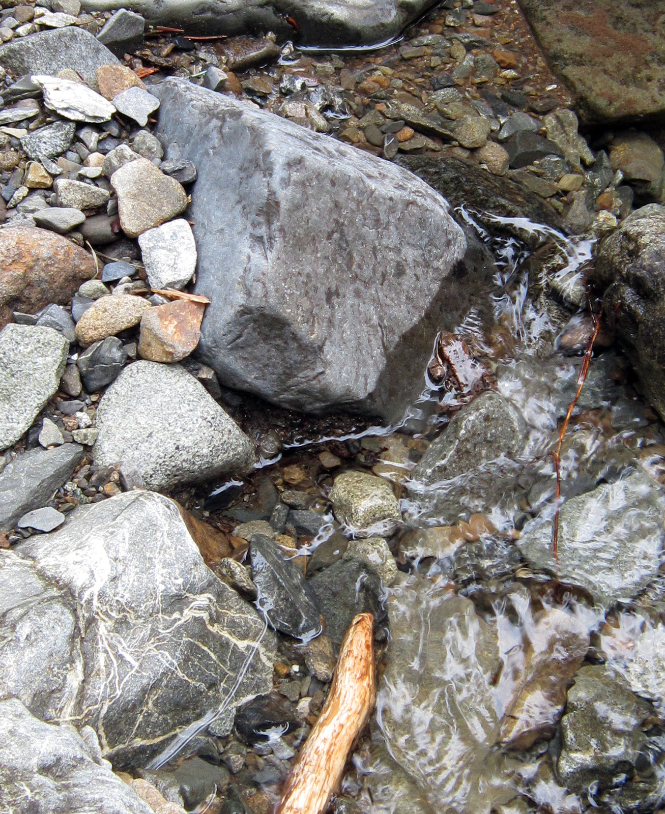
I'd been on basically all of these trails before so I didn't take too many pictures.

Early morning on the Hoh River trail
On the climb up to Hoh Lake, through the old burn
Hoh Lake; I remember swimming here 20 years ago...
ONP is the only place I've ever seen pink and purple paintbrush (?)
Western side of Seven Lakes Basin
Obligatory Olympus from High Divide picture
Busy morning at Heart Lake
Small falls on the upper Sol Duc
Looking down south fork Boulder Creek drainage from Appleton Pass
Former Mills Reservoir and Glines Canyon Dam
Former Mills Reservoir
Elwha River below Glines Canyon
Who's horrible idea was it to include all this road...
Probably near where I turned around to trudge back down the Elwha

Monday, July 11, 2016

Polallie Ridge - PCT - Waptus River loop, Alpine Lakes Wilderness

A largely-pessimistic forecast and some last-minute plan changes put me out in the central Alpine Lakes Wilderness up the Salmon La Sac road. This loop (~27m, 6,200' gain), outside of the first climb, has a lot of runnable terrain and worked out as a good training run on a mediocre weather day when views were unlikely to be had in more ambitious locales.

  • Polallie Ridge: first 2.5m have been cleared. Beyond, there are intermittent blowdowns with the exception being .5m of solid blowdowns on the descent, northbound, down to Waptus Pass (photos below). 
  • PCT: four blowdowns and some light brush starting at 3700' (on descent).
  • Waptus River: handful of blowdowns, overall trail is in good shape if not a little rocky from horse wear. The ford is knee deep but slow and clear. 
Four different Wilderness areas the last four weekends
Columbine on Polallie Ridge
Diamond Lake
First meadow on Polallie Ridge, Hour Creek headwaters
Second meadow, unnamed creek headwaters
Polallie Ridge trail and former lookout site
Former lookout site
Beginning of blowdowns past the old lookout on descent to Waptus Pass
Oh yeah...
Frog in Quick Creek at Waptus Pass
Some backpacker is going to be upset
Waptus Lake from the PCT
PCT looking toward Mt. Daniel in the clouds
Spade Creek falls
Waptus River ford