Sunday, October 23, 2016

American Ridge, William O. Douglas Wilderness

Eric and I had been planning to bust the rust off of our snowshoes, but as the weekend neared it seemed more prudent to get another day in without starting the season of snow wallowing. We ended up doing a loop on American Ridge where Eric wanted to tick off some little, rarely-visited P400 peaks past Goat Peak:

-Goat Peak 6473' p833
-Peak 6196' p477
-Peak 6320' p480
-Peak 6240' p400

We started off from the Goat Peak trailhead (well maintained), continued on American Ridge hitting the peaks along the way (some blowdowns through the middle section) and then took multiple elk trails down from 6240' to meet the Kettle Creek trail (few blowdowns) around 4750', closing the loop with the Pleasant Valley trail (well maintained). Snowline was 5500', melting on exposed slopes and approximately 4-6" in shaded areas.

17.1 miles, 5656' gain
Western Larch on the Goat Peak trail
More larch
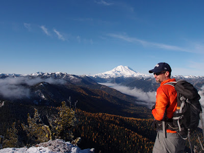
Looking north to the Stuart-Enchantment ranges
American River valley and Rainier
Pano from Goat Peak
Eric on Goat Peak

Looking southeast toward Bumping Lake, Goat Rocks and Mt. Adams
Larch in the American River valley
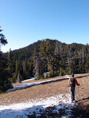
Eric midway along American Ridge
Looking at the last little summit of the day, Peak 6240'
A Fay Pullen register! And no visitors...
Eric on 6240'
5'-diameter larch along the Pleasant Valley trail


Monday, October 10, 2016

Eagle Cap Wilderness, Oregon

Following our trip in Great Basin National Park, there appeared to be a 24-hour weather window in the Wallowa Mountains of northeastern Oregon. Neither of us had been to the Eagle Cap Wilderness so it seemed like an obvious choice for our next two days before heading back to Seattle. Even though it's a long drive from almost everywhere, it's an area I definitely want to visit again in 2017.

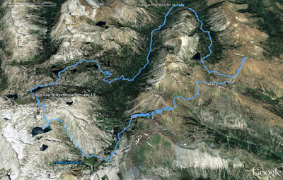
Ben did some quick research during drive times and our route was as follows: East Fork Wallowa River, side trip to summit Aneroid Mountain 9702', short cross-country route past Dollar Lake to Tenderfoot Pass, Polaris Pass trail, Glacier Pass trail to Moccasin Lake where we camped, hike out West Fork Wallowa River. 

Besides some short snow flurries on the first day the 24-hour window was on the mark. We woke up Tuesday morning and it promptly snowed an inch, so we hiked out instead of going up Eagle Cap in a no-view snow cloud.

Our Eagle Cap Wilderness route
Meadows before Aneroid Lake, East Fork Wallowa River trail
Nearing Aneroid Lake
Bear prints on the East Fork Wallowa trail
Aneroid Mountain 9702': walk-up route on climber's right; some short scrambles if going direct
Starting the climb up Aneroid
Bonny Lakes, from the summit of Aneroid
Looking west from the summit of Aneroid
Aneroid and Roger Lakes, from the summit of Aneroid
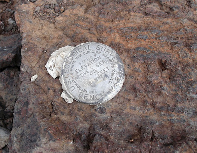
Aneroid benchmark
Deer acting like goats 
Ben on the way to Polaris Pass
Elk on the mid-ground ridge; we heard the bugling before we could see them 
Ben's photo; on the way to Polaris Pass
Polaris Pass; definitely starting to snow
Ben descending from Polaris Pass
It wouldn't be a fall trip with Ben unless it snowed!
Upper West Fork Wallowa River drainage
Frazier Lake
West Fork Wallowa headwaters
Approaching Glacier Lake, upper West Fork Wallowa
Glacier Lake
Sunset lights up the clouds around Glacier Peak (OR)
Our shelter on Tuesday morning, at Moccasin Lake
Hiking out through the Lakes Basin area
Always nice to stay dry on crossings this time of year
Obligatory Wilderness sign; a new one for me

Friday, October 7, 2016

Great Basin National Park, Nevada - 2016

As the window for the annual fall trip with Ben approached we sadly watched the forecast for Wyoming's Wind River Range deteriorate, and instead elected to begin by going back to Great Basin National Park in eastern Nevada. In October 2015 we'd been stormed off of the Highland Ridge Traverse on the summit of Mt. Washington.

Waking up last Saturday morning in Baker, NV Ben checked the weather as we packed up and noticed that Sunday had a wind advisory for 50+ mph gusts (in town, which meant probably worse at elevation), prompting a discussion about finishing all the high-elevation portions of our loop on Saturday. Instead of repeating the southern half of the park that we'd done in 2015, we decided to complete the northern section of Highland Ridge starting just north of Mt. Washington and ending over Wheeler Peak (the true high point of Nevada!).

The density of diverse, interesting things to experience in GBNP is truly special and there still are a few things I would like to go back for...

Day 1 map; day 2 just closed the loop
Starting from the Pole Canyon TH, ~6900'
Upper Pole Canyon
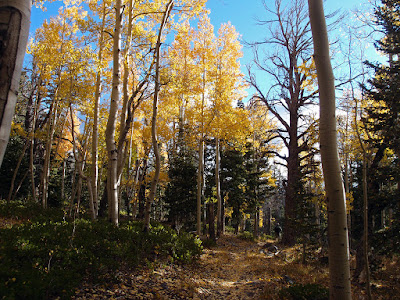
Pole Canyon aspens
Pole Canyon aspens
Timber Creek pass
Snake Creek basin (Shoshone trailhead at left)
Looking at the southern half of GBNP we covered in 2015; from Snake Divide 
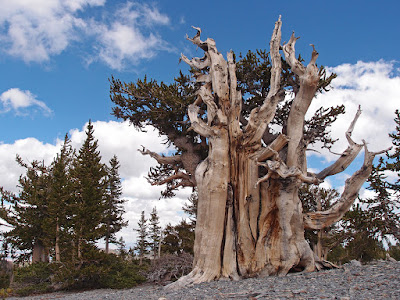
And this is why they are called Bristlecone Pines
Bristlecone Pine stump
Stump detail
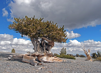
Bristlecone Pine
Ben coming through the lower part of the grove on Snake Divide
On Snake Divide around 10,800'
Dead vs. alive

The largest (circumference-wise) Bristlecone we saw on Snake Divide
Upper grove around 11,100'
One of the most famous/photographed trees on Snake Divide
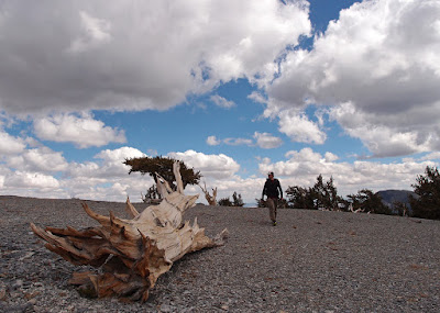
This log could have been living for thousands of years and then been laying here becoming more and more weathered for thousands more years
Reaching the end of the grove as Snake Divide meets Highland Ridge, just north of Mt. Washington
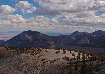
Looking back on the upper part of the Snake Divide grove
Ben on Highland Ridge, just north of Johnson Peak, looking toward Baker Peak and Wheeler Peak
Me looking at Baker Peak West (rust-colored at left) Wheeler Peak at center and Jeff Davis back right; Ben's photo
Johnson Lake and Pyramid Peak, from Highland Ridge
Ben on upper Baker Peak West
Ben looking at our ascent route up the south ridge of Wheeler Peak
Looking west while ascending the south ridge of Wheeler
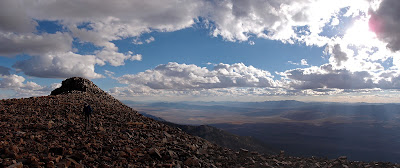
Around 12,800' on Wheeler's south ridge, with the rest of the Highland Ridge Traverse behind Ben
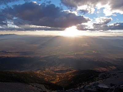
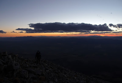
On the final slope to the summit of Wheeler Peak, right at sunset
Wheeler Peak Summit, 13,065'
Closing the loop the next morning, hiking down the Lehman Creek trail