I guess not really knowing what to say is a good thing.
At Miwok last Saturday I ran a steady race. I had a couple lows, a couple highs and many miles in between of just moving through the Marin Headlands. After
Gorge the 100km distance didn't feel intimidating, so I didn't have any pressure to perform or race in a competitive way. That's not to say I wasn't excited or nervous, but I felt much more "casual" about it. Finishing, so I could use Miwok as my Western States qualifier, was pretty much the only thing I wanted to do.
And maybe that's the best way to do it..?
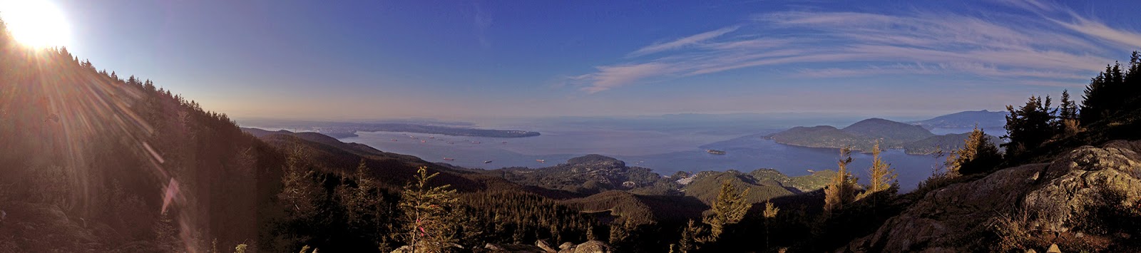
 |
| Not exactly roughing it: my view from the VRBO rental in Muir Beach. |
Dave and I ate dinner together the night before the race, discussing the usual pre-race topics of game plan, who would win and how different Miwok was from most of the
Rainshadow events we do. This led to Dave's keen observation: "Luke, tomorrow you're going to run with over 500 people and aid stations every 5-7 miles, and then go to Plain, with only ~50 people and one aid station after 60 miles." That might possibly be why I didn't have expectations for Miwok: I don't consider myself a strong "runner," and Miwok definitely is a runner's course.
On the start line the crowd was quite substantial and Miwok has to have the most comical trail ultra start in history. You run 75 feet on a road, and then hit tight singletrack where it's extremely difficult to pass for the first six miles.
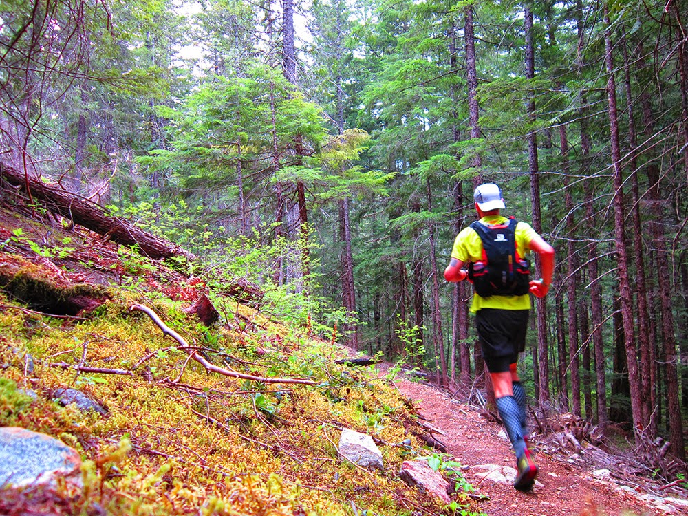
Want proof?
 |
| TRAIL TRAIN |
Many people in the 30-person group I got stuck in started darting out in the tall grass and sprinting past since the people in front wouldn't step aside, and I tried to stay calm and just think about how easy it would be to roll an ankle doing that. And a few miles into a 100k, was a minute or two really going to make that much of a difference? A turned ankle sure would...
After moving pretty slowly along the Coastal Trail on Bolinas Ridge we got into the trees at six miles and the trail opened up. I passed the people in my group and started to cruise a bit better, not stopping at the first aid station a little over 10k in. The dirt road along the ridge to the Randall aid station was rolling downhill and a nice way to ease into the day. The leaders started to come back and I got to see Dave climbing back up as I descended; he was about a mile and a half ahead of me and made a pleasantly foul remark about an impending BM. One minute at the aid, 13.1m in, and I was out and heading back up toward the ridge.
The sun was breaking through the low fog, which was lower than the ridge, and it was probably my favorite moment of the day. My legs felt like I'd already run 50k (similar to Gorge in that regard that I felt bad early on), and when I came up to someone and learned he was from Redmond, WA, it was nice to spend a couple of miles together talking about northwest races. It turned out to be
Stanislav, but unfortunately I went through the aid at 19.6m quickly and didn't see him for the rest of the day.
Between Bolinas and hitting Cardiac for the first time I ran alone, passed a handful of people and someone caught up to me and introduced himself:
Ryan from Reno. It's always hard to tell how long you're actually going to stay the same pace as someone else. Luckily, I think, we ended up running about 28 miles together through the middle of the day.
The usual race chitchat carried us through the next fifteen-plus miles until we were coming into Bridgeview and came up to a runner in a white shirt, Pearl Izumi N2 shoes and no hat: DAVE! We'd crossed coming in/out of Muir Beach at 32m, and Ryan and I had been about a half mile or so back. He immediately said he wasn't feeling good, and we ran for about a hundred yards into the aid together. I asked him to latch on to us, but he said to just go on.
It was tough to see him not feeling well, especially as he'd been running ahead of me all day.
This was about the time where I pretty much stopped eating food as well. Even just a little heat this early in the year does it to me, and I went almost entirely to one bottle of water and one small bottle filled with coke from every aid. It took me two miles to eat two pieces of licorice: a slowest ever record for me. I think over the last 25 miles I had a maximum of 300 non-Coke calories.
Ryan and I were slowing down a bit as we hiked up Rodeo Valley and he picked up a pacer at Tennessee Valley at 48.5m. We headed down the valley and up toward Pirate's Cove, now a group of three, but it only lasted for the first climb. Ryan started to slow a bit and urged me to push on, which I did.
Greg and I had run this section
during our 30k race over a year ago, and I got a little boost and ran a bit up toward Glenn, who was waiting to capture a perfect moment at mile 52:
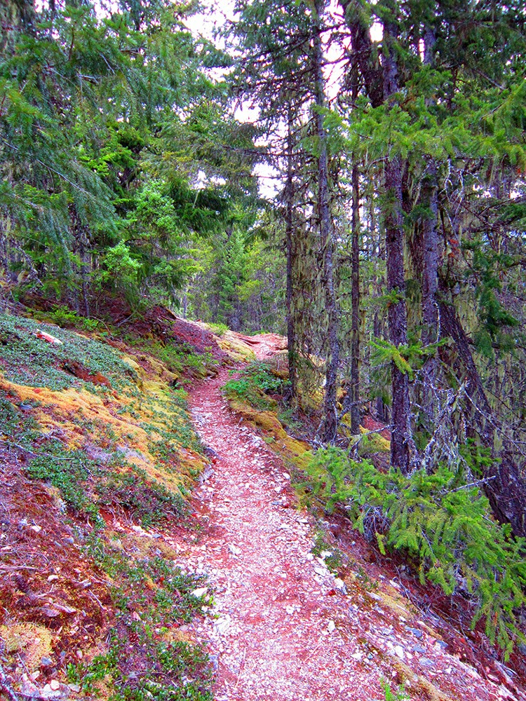
 |
| Coastal Trail above Pirate's Cove; thank you Glenn, one of the few race photos I really will cherish. |
In and out of Muir Beach I headed toward the last climb of the day: Deer Park up to Cardiac. This section is a killer. A couple miles of endless road, followed by a nice short trail section with some streams to cross, leading to the last climb.
I wasn't bonking, but I definitely could feel the lack of substantial calories in me. The problem was eating made me feel worse than being hungry, so I just thought I only have a few more miles and I can push through. It was a hard section for me, but I felt way better than the last climb at Gorge.
Jorge greeted me at Cardiac, wisely standing next to the trail with water and preventing runners from going over to the aid station to slow down. He had a ten-gallon hat on, coupled with his
million-watt smile.
"2.8 miles and it's all downhill!"
The downhill hurt, and surprisingly I felt better on the Dipsea stair sections than I did on the trail portions. Maybe all those North Shore stairs helped?
Approaching a trail junction I saw a guy in a blue jacket, who yelled some words of encouragement. I assumed he was a marshal and muttered a barely-audible, "thanks."
"Luke! It's me!"
I knew my good friend
Sir-Hikes-a-Lot was going to be waiting for me at the finish, wanting to spectate his first ultra, but I never thought he'd be out on the course. It was a wonderful surprise and we ran the last mile and a quarter in together.
I finished in
12:05, 51st overall. The webcast, which tracked the place runners were in as they came through aid stations, is great for seeing how you paced the race. While I definitely faded in the last 10 miles, most people did, and I'm very happy that I essentially held my place for the last 25 miles.
 |
| Not perfect, but pretty good pacing. |
 |
| Very quick muscle cool-off in the Pacific at Stinson Beach. |
 |
| Back at the finish with Sir Hikes the ultrahiker. |
After getting changed I looked at my phone. A text from Dave arrived, and with a severe case of race brain, I was wondering how he was texting me from the course. Then I read it: drop at Tennessee Valley return (48.6m); argh!
I started to get some food and fluids in and as I was waiting for dropbags to come back, Adam rolls in. We were primary training partners all winter and spring, talking about Miwok every Saturday on the trails. He was ecstatic to finish and get his Western States qualifier, and it was nice to see his family celebrate with him. He's been planning (semi-obsessively) for this race since December, and I couldn't be happier for him.
While Miwok probably isn't a race I would do again, I had a really nice day with everyone I got to share trails with. The volunteers were great and congratulations to everyone else who went out there and participated.
I feel like I accomplished my goal of being steady and just trying to run well.
THE DETAILS
- This race mostly is held on dirt roads. Maybe 20 miles of singletrack, 5ish of pavement and 35+ on dirt roads. Not necessarily a bad thing, but something to be aware of. It means...
- ...that it's really runnable! And it is, if you have legs, like the fast people. I actually brought road shoes and was debating up until the night before which ones to wear. Road shoes would be perfect on the second half; no need for trail shoes.
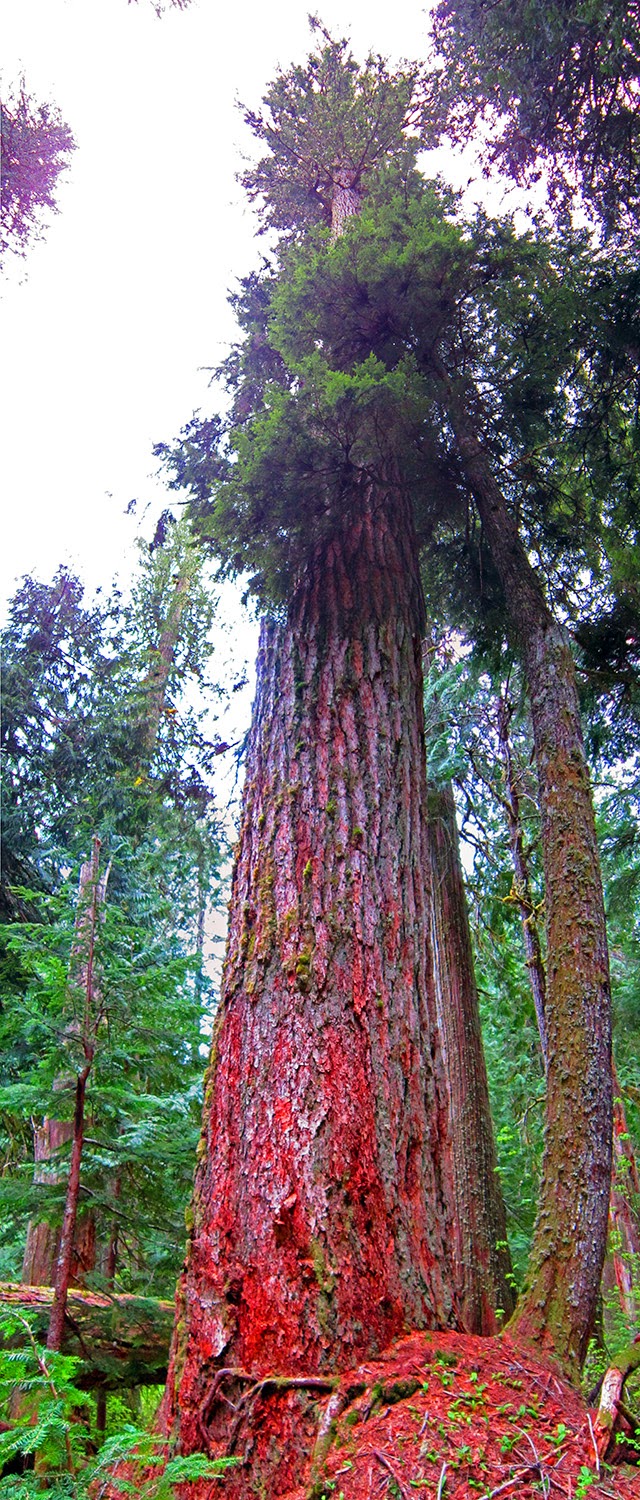
- The course is pretty; no debate there. I definitely took a few moments throughout the day to look at the view and appreciate it, especially along Bolinas, Muir Woods, Pirate's Cove and the Dipsea.
- The Bay Area runners really show up to support the race. The Bridgeview aid station is one of the best I've been to. I believe a local running club was in charge of it.
- GEAR: Pearl Izumi Trail N2, Drymax Trail Lite, TNF Long Haul shorts, Pearl Izumi top and visor, UD SJ vest, Nathan handheld, Black Diamond headlamp. Second time wearing my Trail N2 for a full 100km race without any problems.
- Food: PBJ squares, chips, Honey Stinger chews, Clif bloks, banana pieces, gummy bears, licorice, Pocketfuel choco haze, 2x20oz Perpetuem, ~30oz coke, 80oz water (?), five Saltstick caps. I had a bunch of gels with me but didn't slurp a single one...
- Recovery: sore, but after Sunday I started to feel pretty good. Not sure why? I already did a jog and felt great, with almost no soreness. Adam said similar; totally bizarre...
Thanks to everyone for their support.
Time to step away from races and head into the mountains for the summer...