A largely-pessimistic forecast and some last-minute plan changes put me out in the central Alpine Lakes Wilderness up the Salmon La Sac road. This loop (~27m, 6,200' gain), outside of the first climb, has a lot of runnable terrain and worked out as a good training run on a mediocre weather day when views were unlikely to be had in more ambitious locales.
- Polallie Ridge: first 2.5m have been cleared. Beyond, there are intermittent blowdowns with the exception being .5m of solid blowdowns on the descent, northbound, down to Waptus Pass (photos below).
- PCT: four blowdowns and some light brush starting at 3700' (on descent).
- Waptus River: handful of blowdowns, overall trail is in good shape if not a little rocky from horse wear. The ford is knee deep but slow and clear.
 |
| Four different Wilderness areas the last four weekends |
 |
| Columbine on Polallie Ridge |
 |
| Diamond Lake |
 |
| First meadow on Polallie Ridge, Hour Creek headwaters |
 |
| Second meadow, unnamed creek headwaters |
 |
| Polallie Ridge trail and former lookout site |
 |
| Former lookout site |
 |
| Beginning of blowdowns past the old lookout on descent to Waptus Pass |
 |
| Oh yeah... |
 |
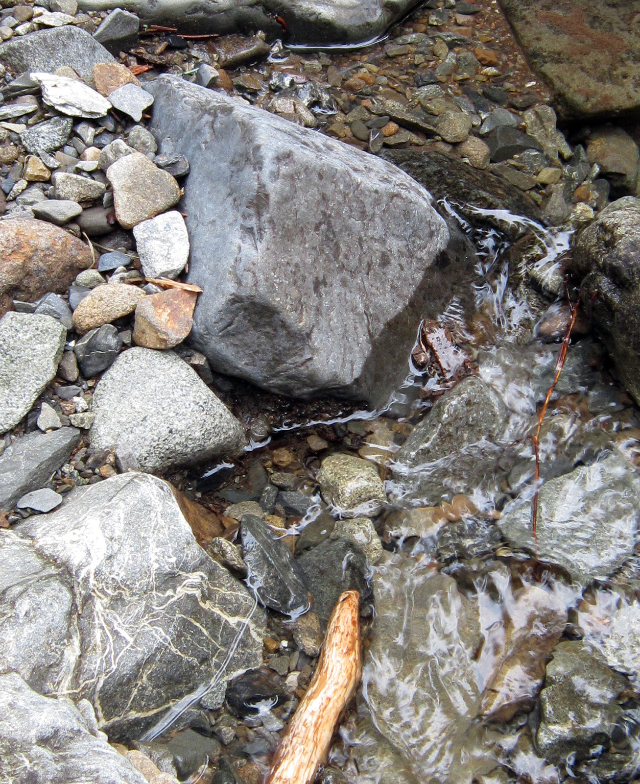
| Frog in Quick Creek at Waptus Pass |
 |
| Some backpacker is going to be upset |
 |
| Waptus Lake from the PCT |
 |
| PCT looking toward Mt. Daniel in the clouds |
 |
| Spade Creek falls |
 |
| Waptus River ford |


No comments:
Post a Comment