
Probably the most remote and consistently-challenging trip I've done in Washington (and I believe Ben concurred). From Fisher Basin to North Fork Bridge Creek we did 11.5 miles of continuous cross country travel.
Approx. 30.5 miles, 12,000' gain, 6 bears
 |
| Fisher Basin |
 |
| Pikas at work |
 |
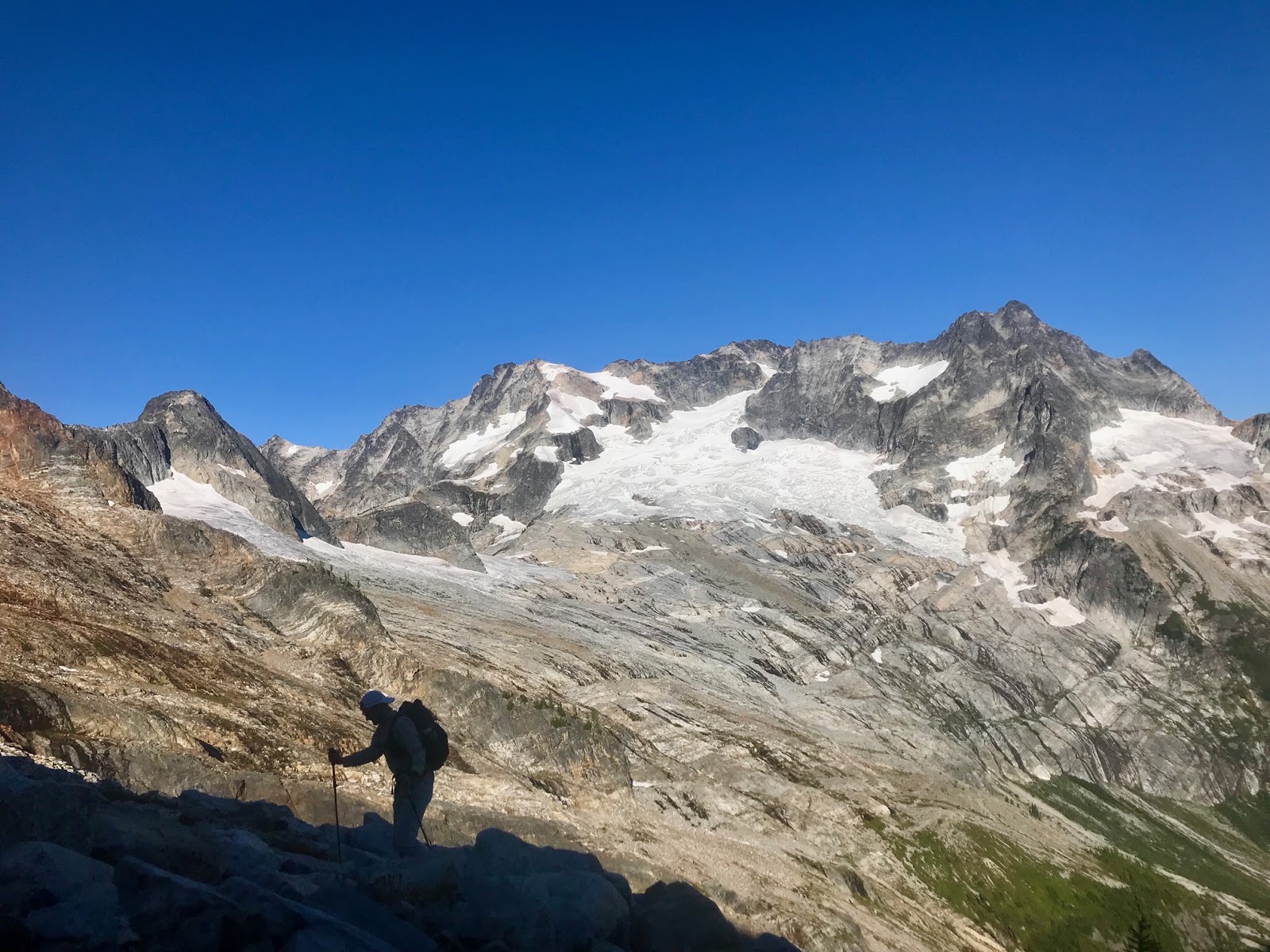
| Dying glacier on Mount Arriva |
 |
| A loose descent |

 |
| Lake 5972' ("Sheba Lake" dubbed by Ben) |

 |
| Looking back up the multiple morraines |
 |
| Lower Fisher Creek valley |
 |
| Natal Creek valley |
 |
| Two bears in the basin below Point 6985' |
 |
| Looking back at the Arriva-Fisher group and satellite peaks |
 |
| Outpost Peak and Logan in the clouds |
 |
| North Cascades National Park |
 |
| North side of Fisher Pass |
 |
| One of three bears that we woke up to at Fisher Pass |
 |
| Another bear at Fisher Pass |
 |
| Logan, from low down on Outpost's north ridge |
 |
| Climbing up Outpost |
 |
| Last step to Outpost's summit 7910' |
 |
| Goode and the North Fork Meadows from the summit of Outpost |
 |
| Buckner, Logan and Boston Glacier peaks beyond |
 |
| Picketts and Chilliwack group |
 |
| From whence we came |
 |
| Outpost's SE ridge |
 |
| Outpost's SE ridge, Black Peak at left |

 |
| Last look at Goode and the North Fork Meadows, from low on Outpost's SE ridge |

I'd been thinking of doing this ever since climbing Arriva and looking at it from up there. Where did you start and finish? Was a rope necessary at all?
ReplyDeleteWe started at Easy Pass and ended at Bridge Creek. Nothing harder than class 3.
ReplyDelete